
This project is for my UW-Madison Geog 777 class in which we demonstrate back-end data management by creating an interactive map of a zoo. I chose to create a map of the Desert Museum of Tucson, AZ. This code depends on my student ESRI account key being active so it may not work in the future. Currently the site is live.
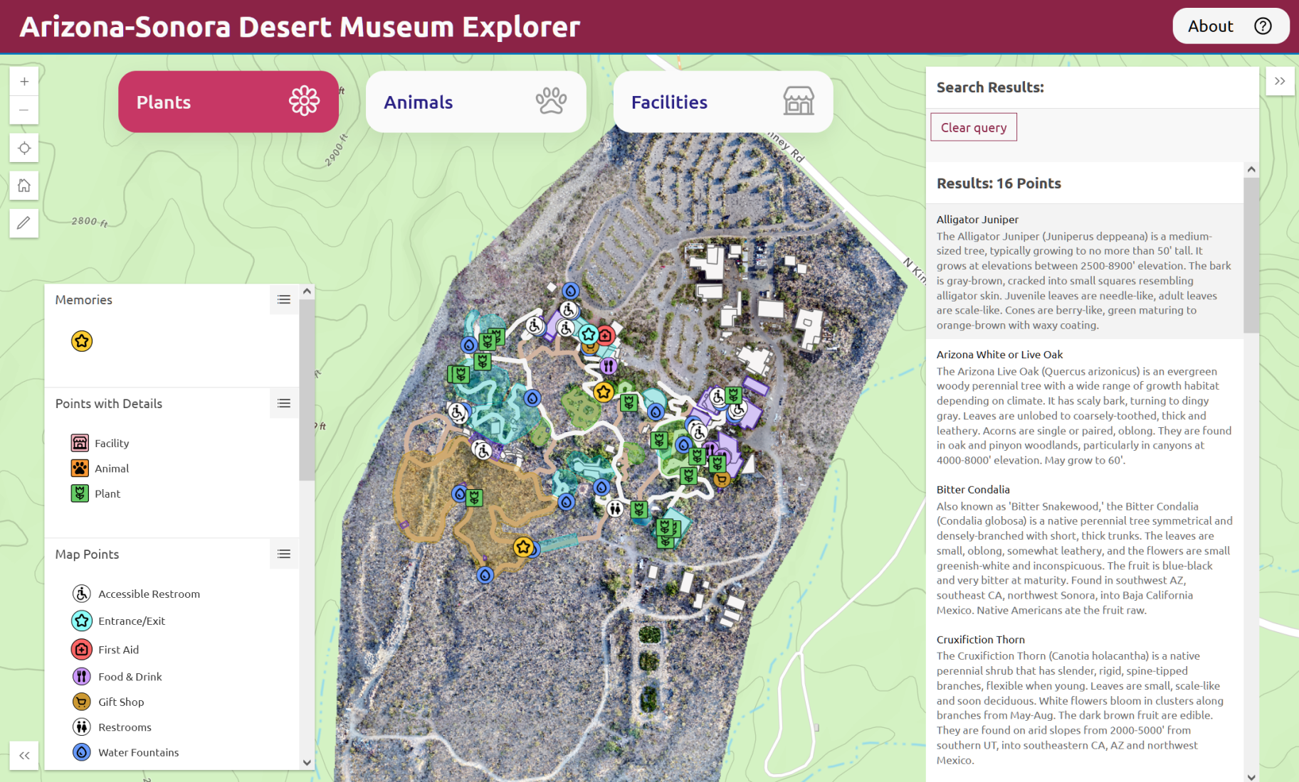
This Application is an ArcGIS JavaScript based mapping website to explore the Tucson, AZ Desert Museum. The Desert Museum is part hike, zoo, botanical garden, historical museum, and community center. My App intends to encourage the user to explore all these different parts. I also encorporate an editable “Memory” layer so users can upload Memories with photos to the public application. I used buttons in the DOM to run a query on data displayed in the map, so the user can change what is in the view on the fly. This involved attaching DOM interactings into ESRI Maps SDK for Javascript.
The code is available on github, https://github.com/steslowj/geog777_proj2/.
Skills: JavaScript coding, Visual Studio Code, ESRI ArcGIS Maps SDK for JavaScript, front-end web design, UI/UX design