portfolio

Arizona State Reference Map

A reference map of the U.S. State of Arizona with labels for major roads and waterways.

Published: Jun 12 2022

    Tagged:
  • Cartography
  • Reference
  • UW-Mad Geog370
  • ArcGIS-Pro
A simple political map of the U.S. State of Arizona with labels and lines for major roads, major rivers, major water bodies. The map is colored light blue and the background has a gradient of blue to white to purple, with a silhouette of cacti on the bottom edge.

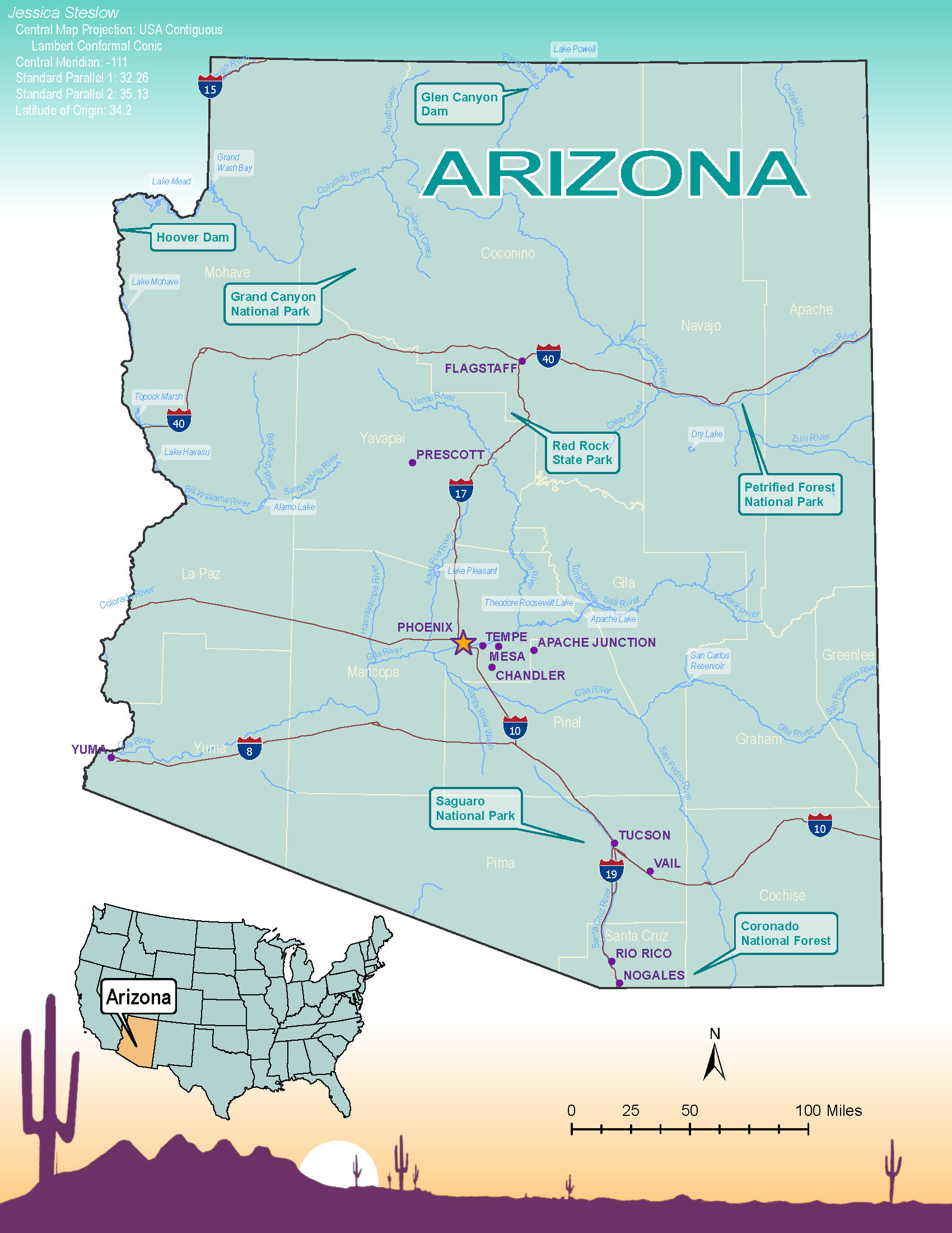
This project is my Lab 1 for UW-Madison Geog 370 Cartography Class. The assignment was to create a simple reference map of a U.S. State like you might find in a tourist brochure. I took inspiration from the lovely Arizona license plate to style my reference map of Arizona. This project was designed, processed, and finalized in ESRI ArcGIS Pro.

Skills: ESRI ArcGIS Pro, cartographic design